Showcase Your Work
Featured Drone Projects
Explore our latest drone projects including solar inspections, mapping, and real estate photography to see our precision and quality in action.

Solar Inspection Success
Our thermal drone inspections help identify heat anomalies in solar panels, ensuring optimal performance and safety for solar farms.
- High-resolution thermal imagery
- Accurate heat anomaly detection
- Industry-leading drone technology
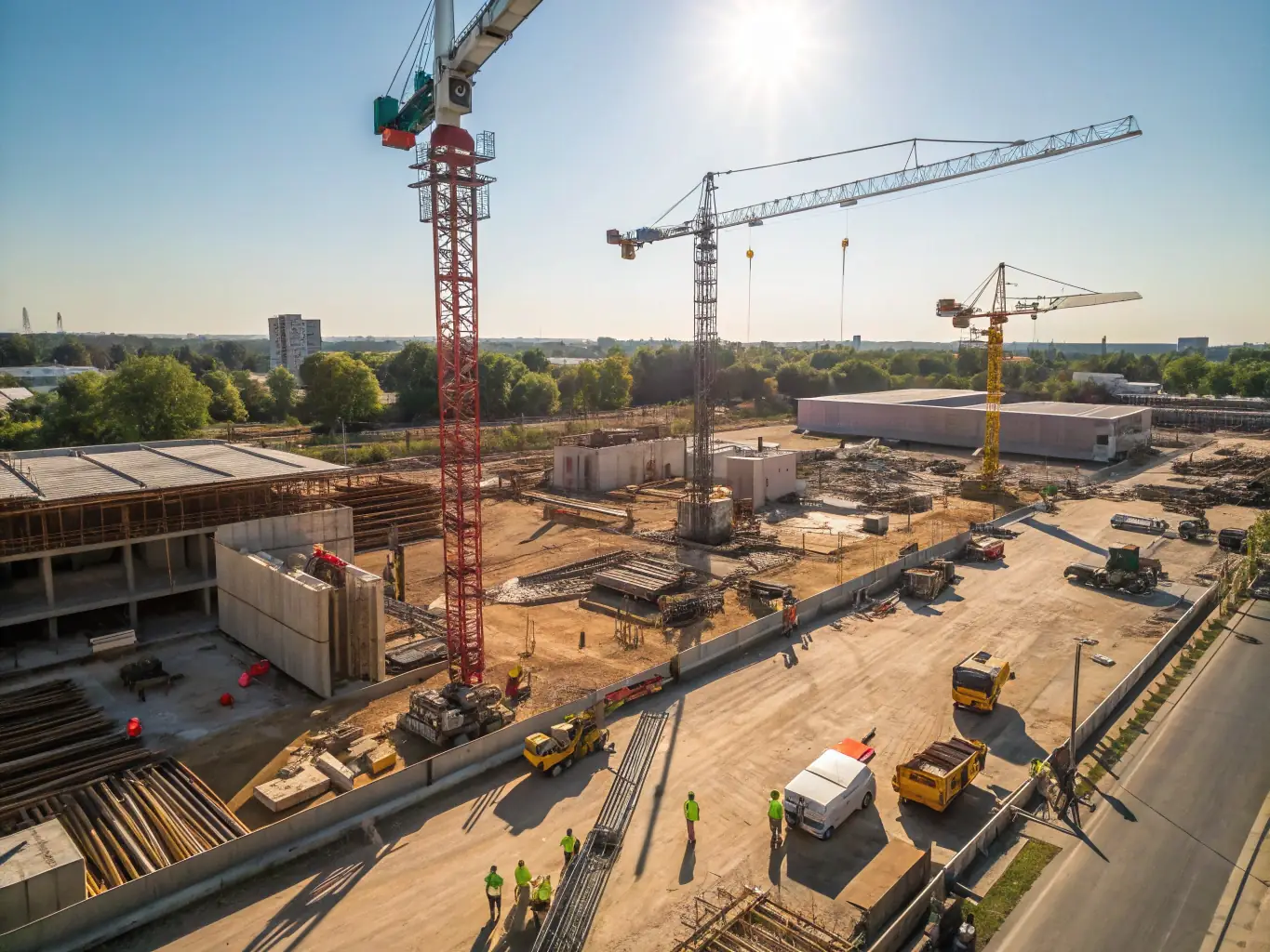
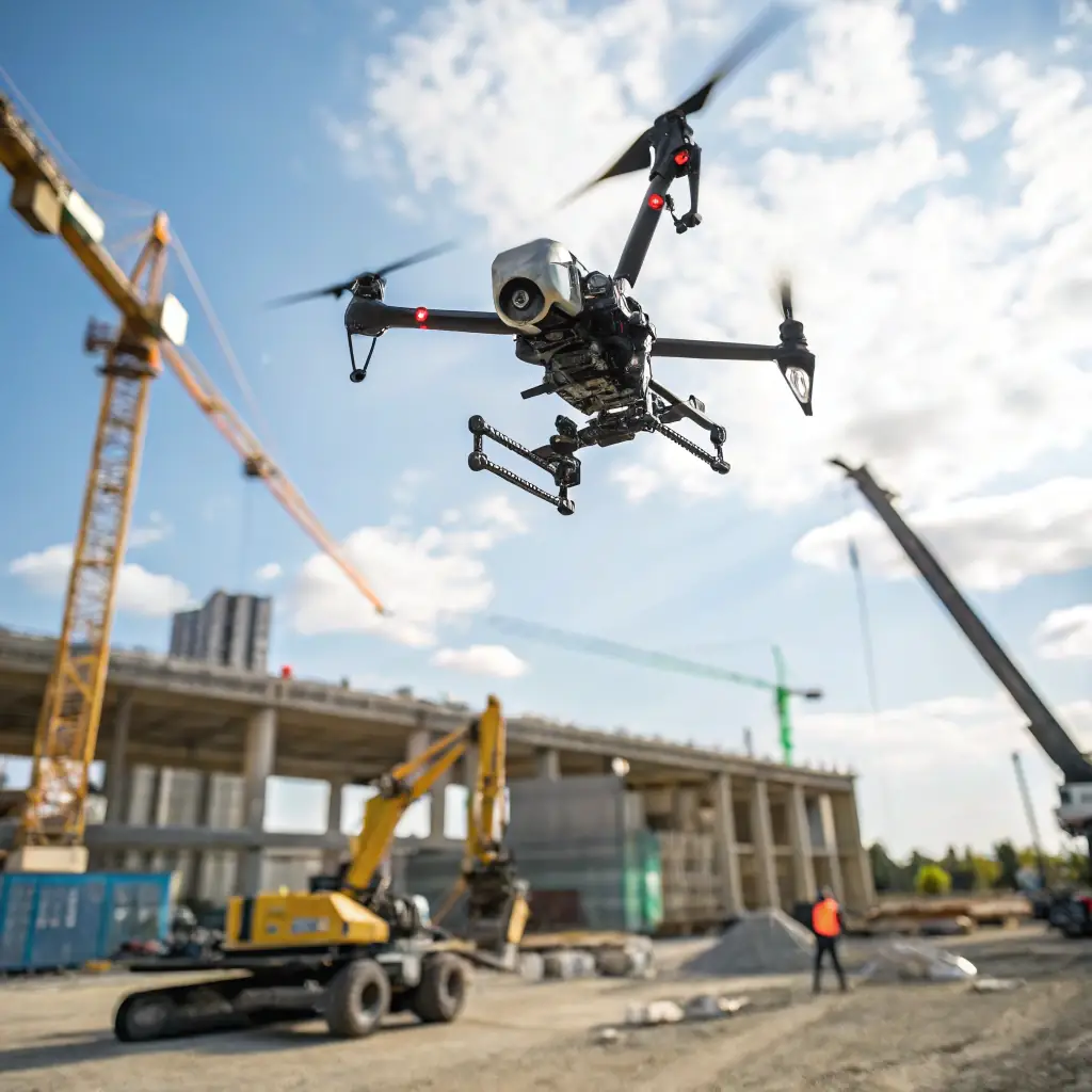
Mapping Projects
We deliver precise aerial mapping solutions for construction, agriculture, and surveying, enabling smarter planning and decision-making.
- High-precision photogrammetry
- Fast turnaround times
- Industry-specific mapping solutions

Real Estate Photography
Our stunning aerial photos enhance property listings, attract buyers, and showcase properties from unique perspectives.
- High-quality imagery
- Wide-angle shots
- Fast delivery for listings
Our Meticulous Approach to
At Amped Aerial, we pride ourselves on a meticulous approach that ensures accuracy and delivers actionable data. From initial consultation to final deliverables, we prioritize precision and client satisfaction. Our workflow is designed to provide safer, more cost-effective, and insightful solutions tailored to your specific needs.
- Precision Data Acquisition: Utilizing advanced DJI Enterprise drones and Emlid GNSS receivers for high-accuracy mapping.
- Certified Expertise: FAA Part 107, ITC Thermography, and Embry-Riddle Top Operator certified professionals.
- Actionable Insights: Delivering data-driven solutions that enable smarter, faster decisions for your projects.