Our Commitment: , Certified, and Data-Driven Drone Solutions

At Amped Aerial, we prioritize safety, holding FAA Part 107 certification and adhering to strict operational protocols. Our data-driven approach ensures high-accuracy results, providing actionable insights for your projects. We leverage advanced technology and certified expertise to deliver safer, more cost-effective solutions. Trust us for precision, efficiency, and reliable aerial intelligence.
A drone is being inspected by a technician wearing safety glasses and a high-visibility vest, with a checklist in hand, emphasizing Amped Aerial's commitment to safety and regulatory compliance.
Unwavering Safety Standards
We adhere to the highest safety standards, ensuring every flight is conducted with precision and care. Our FAA Part 107 certification guarantees regulatory compliance and safe operations.
A close-up shot of a drone's camera capturing thermal data on a solar panel array, highlighting Amped Aerial's expertise in thermal inspections and data analysis.
Data-Driven Precision
Our data-driven approach ensures high-accuracy results, providing actionable insights for your projects. We leverage advanced technology to deliver cost-effective solutions.
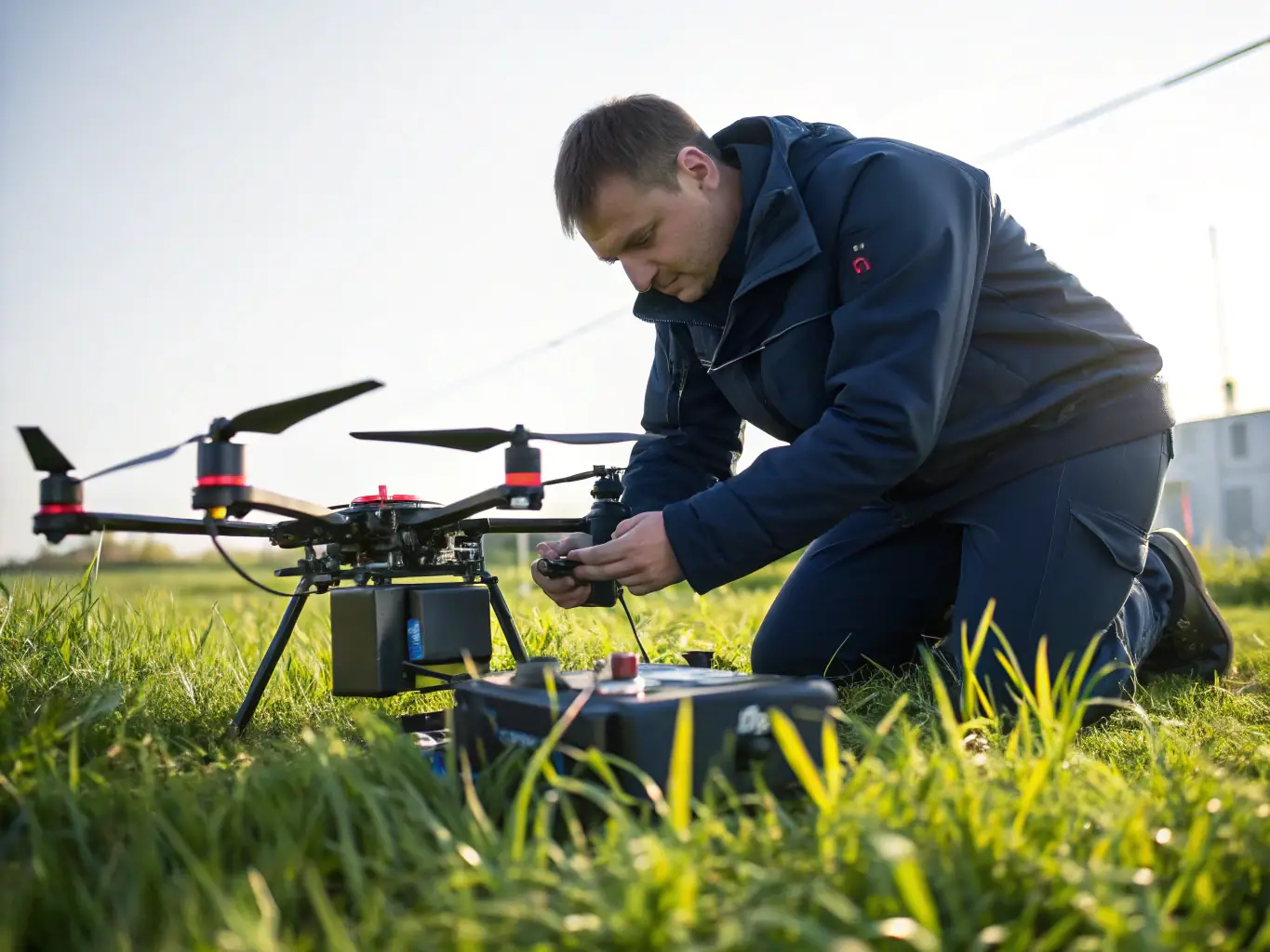
An aerial view of a construction site being mapped by a drone, showcasing Amped Aerial's high-accuracy mapping capabilities and its applications in construction and surveying.
Certified Expertise
Our team combines advanced technology with certified expertise (FAA Part 107, ITC Thermography, Embry-Riddle Top Operator) to provide safer, more cost-effective, and actionable data solutions.

Our Drone Service Offerings

Amped Aerial provides a comprehensive suite of drone services tailored to meet the unique needs of various industries. From high-accuracy mapping to thermal inspections and aerial intelligence, our solutions deliver actionable insights and drive smarter decisions. Explore our specialized offerings below to discover how we can help you achieve your goals with precision and efficiency.
A drone equipped with mapping sensors flying over a construction site, capturing data for high-accuracy mapping services.
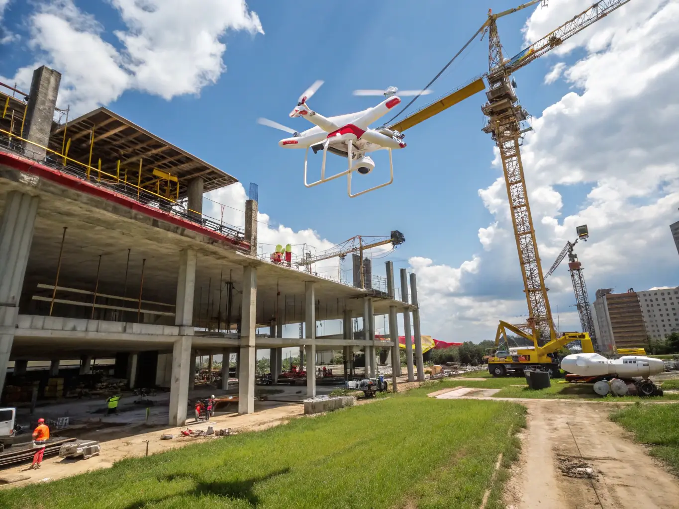
High-Accuracy Mapping
Leverage our advanced drone technology and photogrammetry software for precise mapping solutions. Ideal for construction, agriculture, and surveying projects, our services ensure accuracy and efficiency in data collection and analysis.
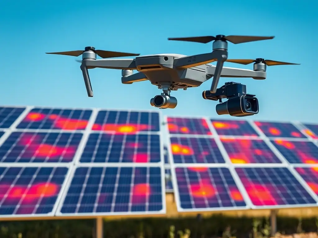
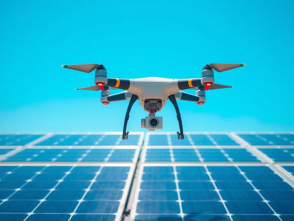
A drone with a thermal camera inspecting a solar panel installation, highlighting potential hotspots and inefficiencies.
Thermal Inspections
Identify heat leaks, electrical issues, and insulation problems with our thermal imaging services. Suitable for various industries, our inspections enhance safety, improve energy efficiency, and reduce operational costs.
A drone capturing aerial imagery of a real estate property, showcasing its features and surroundings from a unique perspective.
Aerial Intelligence
Gather and analyze aerial data to support decision-making in real estate, telecommunications, and infrastructure projects. Our aerial intelligence services provide valuable insights that drive success and optimize project outcomes.